Bienvenue à Herrlisheim, ville du département du Bas-Rhin en région Grand Est. Comptabilisant aujourd'hui 4 701 habitants, la ville évolue en s'adaptant aux réalités de son territoire et aux besoins de sa population sous la gestion de son maire Serge SCHAEFFER.
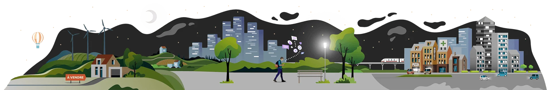
Profil de la population, situation sécuritaire, vie pratique : Petit tour d'horizon de Herrlisheim pour mieux comprendre son développement et ses perspectives.
Vous connaissez la ville de Herrlisheim ? Évaluez-la.
Le nombre d’habitants à Herrlisheim est passé de 4 666 en 2020 à 4 631 en 2021, soit une baisse de 0.8%.
Sources : Institut national de la statistique et des études économiques (insee) selon Les dernières parutions officielles de 2024 portant sur les années 2020, 2021 et 2022.
Sécurité, faits divers : les chiffres de la délinquance
Agressions physiques / sexuelles
19
Cambriolages
0
Vols / dégradations
40
Stupéfiants
0
Evolution du nombre d'infractions
Pour comparer(en proportion du nombre d'habitants)
La ville
Sources : Bases statistiques communale, départementale et régionale de la délinquance enregistrée par la police et la gendarmerie nationales selon les dernières parutions officielles de 2025 portant sur l'année 2024 (data.gouv).
Agressions physiques / sexuelles : Violences sexuelles, coups et blessures volontaires intrafamiliaux, coups et blessures volontaires, autres coups, blessures volontaires et vols violents sans arme.
Cambriolages : Cambriolages de logements.
Vols : Vols avec armes, vols d'accessoires sur véhicules, vols dans les véhicules, vols de véhicules, vols sans violence contre des personnes, destructions, dégradations volontaires et escroqueries.
Stupéfiants : Trafic de stupéfiants dont (AFD) et usage de stupéfiants.
La ville comptabilise de nombreux commerces divers et variés.
La ville compte 1 médecin pour 940 habitants.
La ville dispose de plusieurs établissements scolaire public mais pas de lycée.
Sources : Base Sirene des entreprises et de leurs établissements selon les dernières parutions officielles de 2025 portant sur l'année 2024 (data.gouv). Liste, localisation et tarifs des professionnels de santé selon les dernières parutions officielles de 2025 portant sur l'année 2024 (opendatasoft) et FINESS Extraction du Fichier des établissements selon les dernières parutions officielles de 2025 portant sur l'année 2024 (data.gouv). Adresse et géolocalisation des établissements d'enseignement du premier et second degrés selon les dernières parutions officielles de 2025 portant sur l'année 2024 (data.education.gouv)